|
Unlike the other plats on this site, which were scanned directly from original documents,
this one was derived from photocopies of microfilm images; this has
two unfortunate results. The first is that the maps are not clear in all
places, though I have performed a great deal of retouching. The second,
perhaps greater, loss is that the plat book also contains many pages of photographs, both
of Moultrie residents and of notable public and private buildings, that were totally
illegible when photocopied. Consequently, these photographs are not currently available, though
I hope to obtain better images in the future. If you can help in this regard, please
.
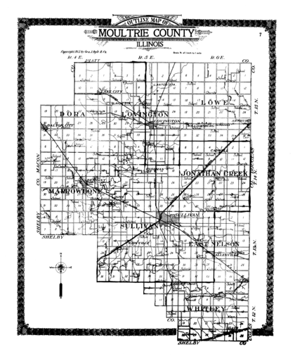
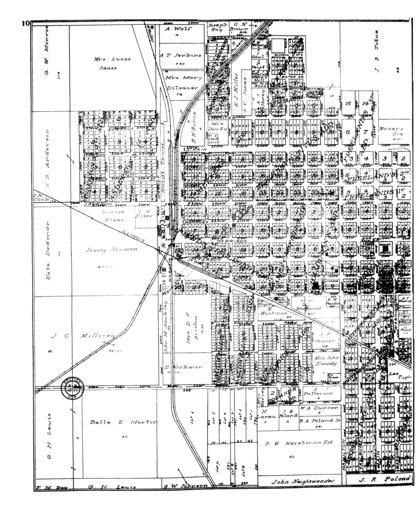
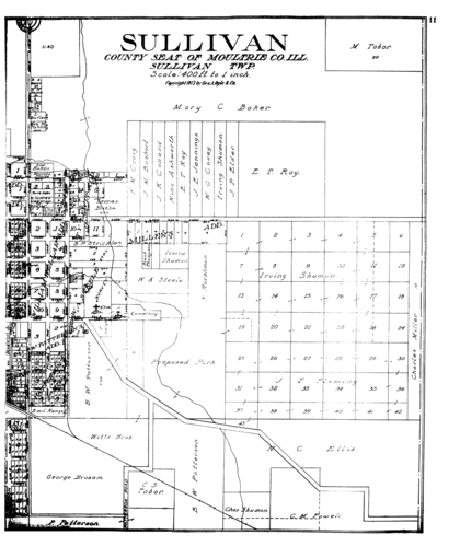
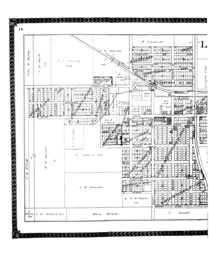
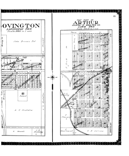
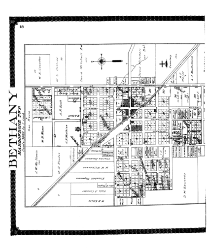
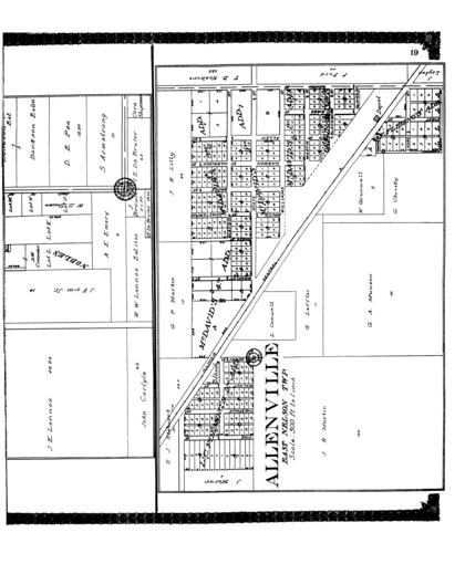
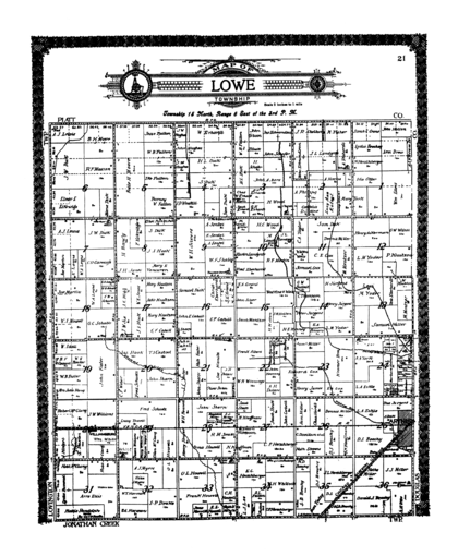
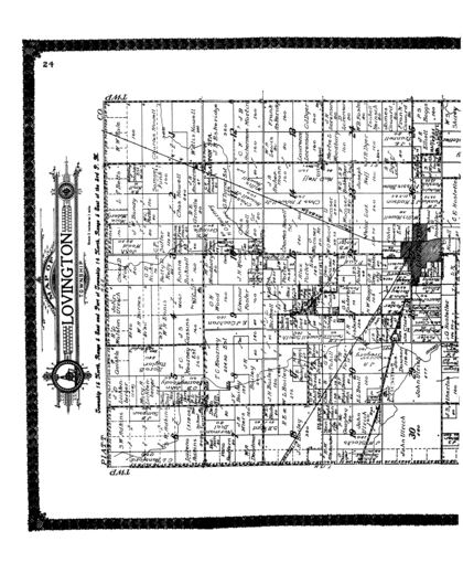
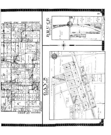
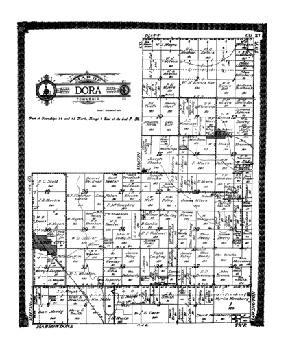
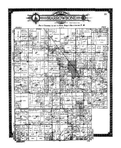
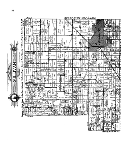
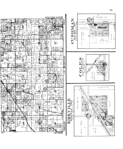
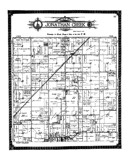
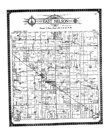
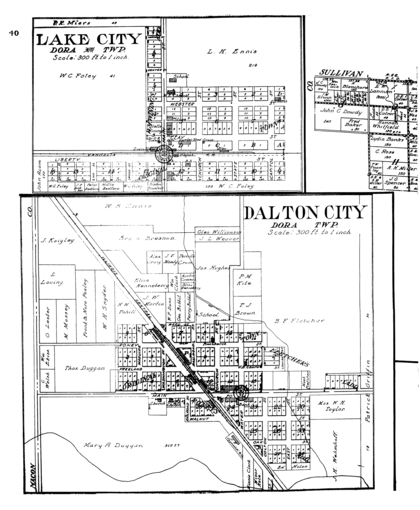
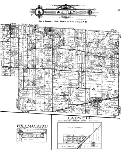
The images on this page show the plat pages in their relationship to each other; that is, in their even-odd, left-right pairings (though, as explained above, many pages are missing). Clicking on one of the images will show the image at 50% of its scanned size. Though these images will be sufficient for most uses, clicking one of these will display the page at a full 100 %. In order to increase the readability of those maps which span two pages, the 50% and 100% images of these 'split' maps have been merged, and in some cases rotated, to show them as a unified and polarly-oriented whole. Furthermore, when two pages share a split image and the rightmost one also contains an additional map, enlarging the left page produces the combined map, while clicking the right page displays only the non-split portion of the map. For instance, in the case of pages 14 and 15, clicking the left page displays the combined map of Lovington, while clicking the right side shows the map of Arthur without the east side of Lovington. |
