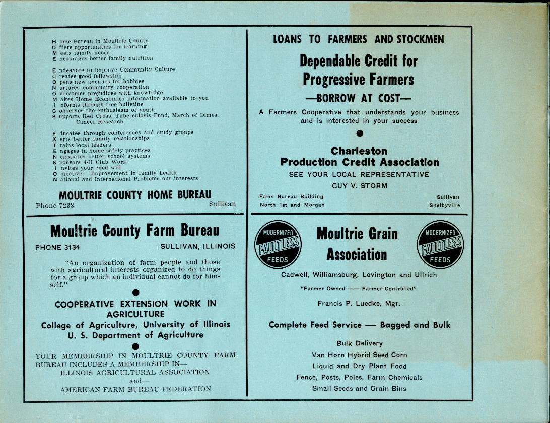
|
The great peculiarity of this plat is that the publisher had significant,
and ill-advised, second thoughts.
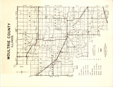
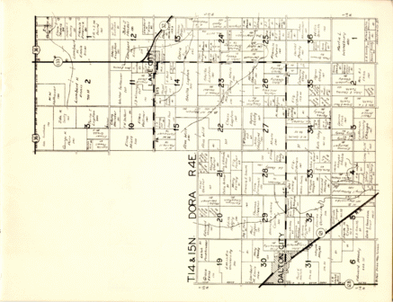
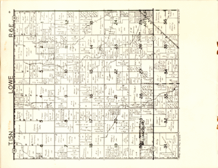
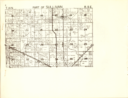
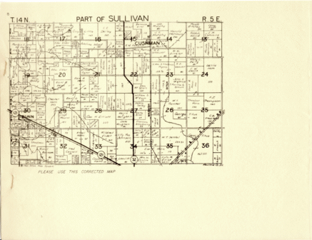
Apparently there were unspecified doubts about the accuracy of the Sullivan Township map, and a late-breaking addendum was printed and stapled over the original pages after the plat was bound and ready for distribution. I have not analyzed this replacement completely, and I presume that there were reasons for it. However, it seems to have introduced as many errors as it corrected: some ownerships reverted forty years to long-dead progenitors, and other properties were ascribed to unknown parties who never had an interest in the land. Therefore, tread carefully, at least in Sullivan Township. In the interest of completeness (and accuracy!) both original and "corrected" versions of the township are included. As you click on them, the two versions of these maps are identified in the title bar of your browser as either "original" or "replacement" maps. In closing, I appologize for the coffee-mug stain on the cover. I didn't put it there, but I hope fondly that someone at the late, lamented Spot did. (Note: as of Spring 2004, the Spot is once again open!) |